

OPINION
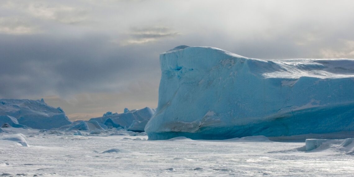
I still remember how much it blew my child’s mind to realise that beneath the vast, icy wastes of Antarctica was an entire, buried continent. A continent bigger than Europe or Australia, buried beneath kilometres of ice for nearly twenty million years. Like island peaks in the Pacific Ocean, the nunataks, the black, jagged ridges of mountains rising above the endless white ice fields are the merest tips of stupendous mountain ranges.
When, some years later, I first read H. P. Lovecraft’s At the Mountains of Madness, my young mind was blown again. Especially by the image of huge, frigid lakes trapped in the blackness beneath kilometres-deep ice.
Thanks to ice-penetrating satellite radar imagery, scientists have mapped some of these lakes. Drill cores have even brought some of the ancient water to the surface. Decades of work have slowly revealed the hidden Antarctic continent. Its valleys and mountain ranges, crushed under gigatonnes of ice, have slowly been revealed. Even ancient river courses.
A new study, published in the journal Nature Communications, has examined a corner of this underworld in great detail for the first time, revealing a landscape of deep valleys and high mountain peaks.
The region, covering about 32,000 square kilometres and lying around 2km below the East Antarctic Ice Sheet, is known as Highland A.
It was first discovered in 2011 but Stewart Jamieson, a geographer from Durham University in the UK who co-led the latest research, said his team wanted to look at the features in more detail.
The radar survey has revealed that it contains “three distinct landscape blocks”, from between 121km to 173km long, which is about the distance from Auckland to Hamilton, or to Matamata.
In between the blocks are the two large and deep valleys, which previous research has shown were likely fjords — V-shaped troughs carved into the earth by glaciers.
Professor Jamieson and colleagues suggest these features may have been created by a river network that existed during the Cretaceous period, a time up until 66 million years ago when dinosaurs still roamed the Earth.
As landmasses began to shift, the rivers likely flowed until some time between 34 million and 14 million years ago, when the area began to freeze.
Apart from, obvious, erosion and compression by ice, the buried landscape has apparently changed little in the past fourteen million years.
“This little corner of Antarctica has not evolved significantly for a very long time and this can therefore be used as a way to control computer models of ice sheet change,” Professor Jamieson said.
The stability of Highland A is particularly useful to understand past climates.
As the region appears to be mostly unchanged, it’s unlikely this area melted away during warm periods over the past 14 million years.
Fourteen million years which include periods which were far warmer than anything even the IPCC “predicts” in its most alarmist scenarios.
During that time, Earth experienced the Miocene period, where temperatures may have been up to 7 degrees Celsius warmer than today.
“It is remarkable that this landscape, ‘hidden in plain sight’ for many years, can tell us so much about the early, and long-term, history of the East Antarctic Ice Sheet,” noted Neil Ross, a polar scientist at Newcastle University and co-author of the study, in a press release.
ABC Australia
It tells us, for instance, that hysterical shrieking about the Antarctic ice supposedly melting is ridiculously childish. If the ice remained firmly in place during periods at least 7°C warmer than today, then the barely 1°C warming of the past century is put into stark perspective.