

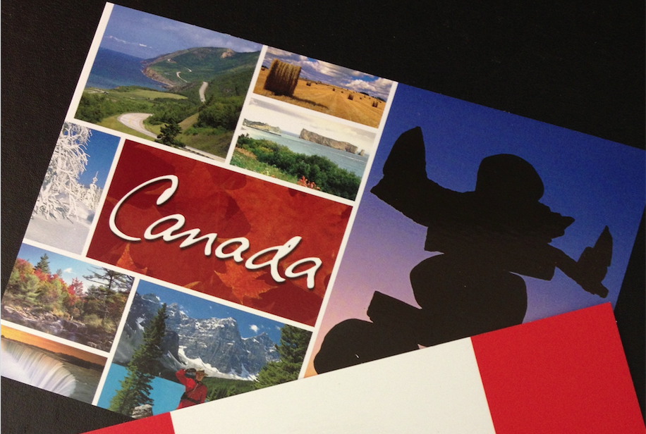
Geoffrey Corfield
Geoffrey Corfield has been active in Conservative politics in Canada since 1976, both federally and provincially. But he won’t always write about politics because he has more experience with writing history and humour. He lives in London, Ontario, frequents used book shops, swims lengths, drinks beer, plays croquet, has his own town in north-central Queensland and six books published, and would very much like to find a publisher for this New Zealand book and its companion one for Australia.
There once was a spry weather map,
That said: "I've a tip to avoid the weather trap.
If you're South and too cold,
Then go north you be told,
And if you're North then go south, it's a snap".
July in Canada is usually the hottest month. On 10 July 2020, Canada
had a high temperature of 35°C, and a low of 4°C (in
January this would be reversed). That’s a temperature range of
31°C.
The most southerly point in Canada is near 42°N latitude.
Westport, New Zealand is about 42°S latitude (latitude lines run
east-west). Relative to New Zealand then, Canada starts just south of
Westport and stretches south to the South Pole.
The capital of Canada (Ottawa 45°N), is on the same equivalent
southern latitude line as Queenstown. Canada’s most northerly
provincial capital (Edmonton, Alberta 53°N), is on the same
equivalent southern latitude line as somewhere between Campbell Island
and Maquarie Island in the Southern Ocean. And the three Canadian far
north territorial capitals (Iqaluit, Nunavut 63°N; Yellowknife,
Northwest Territories 62°N; and Whitehorse, Yukon Territory
61°N), are all in the same equivalent southern latitudes as
somewhere between the Antarctic Circle (66 1/2 °S), and The Ross
Dependency (60°S).
You probably don’t hear much about The Ross Dependency in New Zealand,
but they’re yours, and here they are kindred spirits with Canada’s far
north.
On 10 July in Canada the temperatures ranged from 19°C-4°C
in the far north, to 35°C-21°C in the south.
But what about east-west? Canada extends from St. John’s, Newfoundland
in the east (53°W longitude), to the western boundary of The
Yukon (141°W); a range of 88 longitude degrees (longitude lines
run north-south).
Relative to New Zealand then, Canada stretches from the International
Date Line east of New Zealand (180°E longitude), west to
92°E longitude, which is just west of Sumatra. On 10 July in
Canada the temperatures ranged from 14°C-9°C in the east
(St. John’s), to 22°C-11C in the west (Victoria, British
Columbia).
If we put St. John’s and Victoria at their same equivalent southern
latitudes relative to New Zealand; St John’s (47°N) is down
there with Stewart Island, and Victoria (48°N) is twinned with
The Snares Islands. You probably don’t hear much about The Snares
Islands in New Zealand either, but they’re yours as well.
So, as you sit freezing in New Zealand in your July winter, this is
what we can do to help you keep warm (other than recommend port). Take
these July temperatures in Canada, and pretend they’re your July
temperatures.
New Zealand on 10 July would have an overall temperature range of
35°C-4°C. Westport would be high 31°C/low
21°C. Queenstown 35°C-22°C. Stewart Island
14°C-9°C. The Snares Islands 22°C-11°C. And
New Zealand’s favourite southern extremity, the ever-popular holiday
destination The Ross Dependency, 19°C-4°C.
Feel better? Book now for the best ferry/accommodation rates. The
Dependency awaits and is depending upon you.